Photomontage & Planning Visualization Services Accurate, Defensible Visuals for Planning Applications & Community Engagement
We produce photomontages and planning visuals that help you secure approvals and communicate your proposals clearly. Whether you need verified views for a planning application, context visuals for a design review panel, or accessible graphics for a community consultation, we deliver work that is accurate, defensible, and easy to understand.
Our visuals help planners, stakeholders, and the public see exactly how your proposal fits into its surroundings.
What We Deliver
Photomontages and planning visualizations combine site photography with 3D modeling to show your proposal in its real-world context.
They are the standard visual tool for planning applications, design reviews, and community engagement. Our work meets the standards required by local planning authorities and design review panels.
We produce and compile:
- ✅ Verified photomontages from key vantage viewpoints
- ✅ Site context visuals and neighboring street elevations
- ✅ Massing and height studies showing shadow impact
- ✅ Before and after comparisons detailing site changes
- ✅ Community consultation graphics for exhibitions
- ✅ Planning application visual packs compiled for submission
Our Photomontage & Planning Visualization Services
We deliver rigorous verified views and site context visualizations tailored for planning submissions:
Verified Photomontages
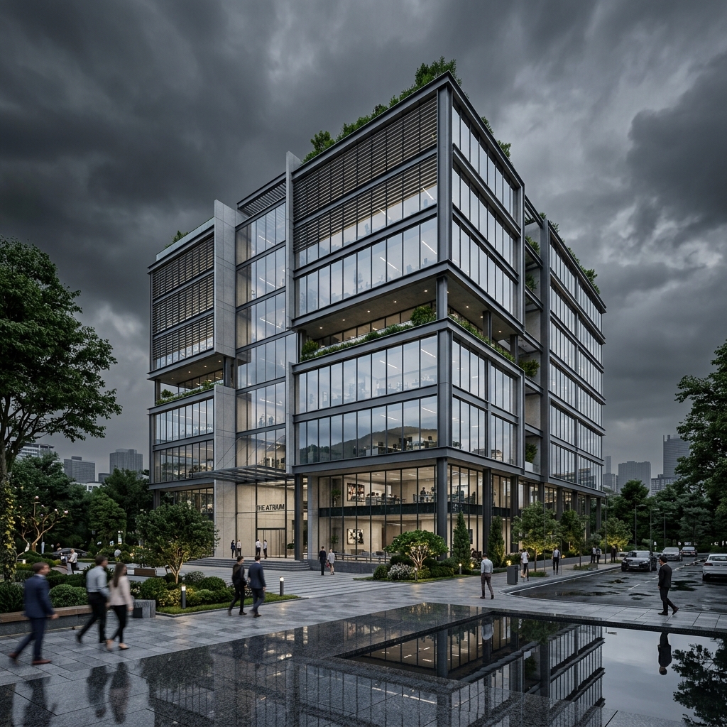
Verified photomontages are produced to the standards required by planning authorities. They are accurate, defensible, and created using a rigorous methodology. We produce photomontages from street level, from elevated viewpoints, and from key vantage points. Each view is carefully matched to site photography using precise camera alignment.
Scope and Features:
- ✓Street-level views
- ✓Elevated and aerial viewpoints
- ✓Key vantage point selections
- ✓Before and after comparisons
- ✓Verified view packs for planning submissions
Our Photomontage & Planning Process
We systematically integrate survey data, viewpoint camera selection, photography, and camera matching:
Site & Project Review
We start by understanding your site, your project, and the planning requirements. We review drawings and identify viewpoint requirements.
Viewpoint Selection
We identify key viewpoints with you and your planners, targeting views planners are most concerned about.
Site Photography
We capture site photos from viewpoints using professional gear, recording focal length and height references.
Site & Context Modeling
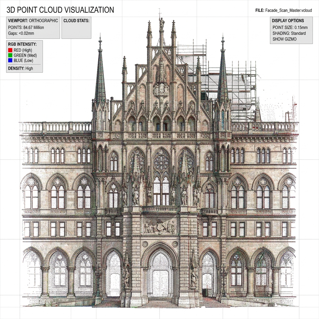
We build a 3D model of your site and context (neighboring buildings, terrain) from survey files and maps.
Camera Matching
We match the 3D camera to the site photos using accurate matching matrices, checking position and scale.
Photomontage Production
We render the proposal into site photos, matching daylighting, shadows, and environment atmospheric conditions.
Review & Refinement
We present draft views for review, implementing revisions and verifying accuracy before final export.
Delivery
We deliver final high-resolution photomontages in digital formats and print-ready presentation sheets.
Software & Tools We Use
We leverage advanced Ray-Traced camera solvers and GIS topography coordinates to build accurate context models.
Compatible Output Formats
Every photomontage visual package is exported in industry-standard high-resolution formats ready for planners:
Quality & Standards
We maintain strict QA checks to ensure our models sit naturally in their surroundings and stand up to technical scrutiny:
QUALITY VERIFICATION REPORT: PHOTOMONTAGE SUBMISSIONS
STATUS: PLANNING AUDITING COMPLIANTCamera Accuracy
We verify camera alignment, scale, and position coordinates against site photography references.
Contextual Fit
We coordinate proposal structures to sit naturally, matching environmental daylighting and shadow projections.
Visual Quality
Photomontages are audited for realism, edge matching, material texture resolutions, and visual impact.
Defensibility
We follow industry best practices for photomontage and planning visuals, ensuring models stand up to technical scrutiny.
Revision Process
We build structured feedback opportunities into our workflow milestones, keeping the submission timeline on track.
Why Choose Our Photomontage Services?
We focus on accurate and defensible context, clear communications, flexible rendering workflows, and simple pricing.
Accurate & Defensible
We follow a rigorous methodology for our photomontages. We verify camera alignment, scale, and position against site photography. You can rely on our work for planning submissions.
Clear Communication
We understand how planning and consultation processes work. We deliver visuals that are clear, accessible, and appropriate for your audience.
Responsive & Reliable
We work to your deadlines. We are responsive to feedback and make adjustments as needed. We deliver what we promise, when we promise it.
Straightforward Pricing
We provide clear proposals with defined deliverables and fixed costs. No surprises.
Industries We Serve
Our photomontages and planning render packages support diverse sectors in the built environment:
Architecture Firms
Planning applications and design communication
Real Estate Developers
Planning support and community engagement
Town Planners
Consultation and application support
Urban Designers
Masterplan and context studies
Local Authorities
Community engagement and impact assessment
Public Sector Organisations
Consultation and stakeholder communications
Frequently Asked Questions
Find answers to common questions about our planning photomontage and site visualization services below.
A photomontage combines a photograph of the existing site with a 3D model of your proposal. It shows exactly how the proposal will appear in its real-world context. They are a standard requirement for most planning applications.
A verified view is a photomontage that has been produced to a specific standard and methodology. It is accurate and defensible, and it is the standard required by most planning authorities. All our photomontages are produced to verified view standards.
We need your site plans or architectural drawings. We also need access to the site or existing site photography from the required viewpoints. We can advise on the viewpoints required for your application.
A single photomontage typically takes 2-4 weeks from briefing to delivery. This includes site photography, modeling, camera matching, rendering, and post-production. Larger packs of multiple views take longer.
Yes, provided the photography is of sufficient quality and the camera position and field of view are known. We prefer to capture our own photography to ensure accuracy.
We deliver high-resolution images in JPEG, PNG, or TIFF format. We can also provide layered Photoshop files upon request.
Costs vary based on the number of views, the complexity of the site, and the level of detail required. We provide fixed-price proposals tailored to each project.
Explore Complementary Services
Coordinate your broader visual representation guidelines with our services: