BENEFIT // 01
Context Is Everything
An elevation or interior rendering shows your building. An aerial rendering shows your building and its place in the neighborhood. This context is critical for planning authorities and community stakeholders.
We create aerial renderings that show your project in its full context. These are not just pretty pictures—they're planning tools, marketing assets, and communication aids that help stakeholders understand where your building sits and how it relates to its surroundings.
Whether you need a bird's-eye view for a planning application, a drone-style flythrough for a marketing campaign, or a contextual site plan for investor presentations, we deliver visuals that are both accurate and compelling.
Aerial and drone view renderings show your project from above, placing your building in its exact site context.
We show surrounding streets, neighboring buildings, landscaping, and the wider environment. These high-detail visuals help planners, stakeholders, and buyers understand how your project coordinates with the existing environment.
Our aerial renders are essential for:
We provide conceptual and photorealistic visualization services from sloped angles to full site flythroughs:
A bird's-eye view of your site showing the building footprint, site layout, landscaping, parking, and surrounding context. These are ideal for planning applications, marketing materials, and masterplan presentations.
We systematically integrate survey details, build high-accuracy surrounding blocks, and coordinate textures for exact representations:
We review existing site plans, survey data, topography configurations, and reference imagery to define the scope.
We build a 3D model of your site and surroundings, including existing streets, foliage, and neighbor structures.
We place your building proposal inside the context layout, compiling parking configurations and landscape assets.
We apply realistic PBR textures to facades, roadways, and planting layers matching your finish specifications.
We align the aerial camera view angle, choosing bird's-eye angles, 45-degree slants, or custom drone tracks.
We execute the final render queue and adjust details in post-production (atmosphere, colors, light balance).
We package and export high-resolution prints or animations in MP4, MOV, JPEG, or PSD source formats.
We leverage specialized mapping, modeling, and rendering packages to match site layouts to real-world coordinates.
We package your aerial renderings in high-resolution, design-agency compatible formats ready for layouts:
We maintain strict QA checkmarks to verify scale, contextual fit, and visual impact accuracy:
We verify site context against survey data and site photography to ensure your proposal is shown in the correct context.
Buildings, neighboring streets, structures, and landscape assets are modeled strictly to correct real-world scale.
We coordinate textures, trees, shadows, and environment daylighting so the proposal sits naturally within its surroundings.
Every render output is audited for clarity, texture sharpness, resolution, and high-impact visual presentation.
We incorporate feedback checkpoints at early modeling stages, camera lock milestones, and final drafts.
We focus on site accuracy, clear communications, flexible rendering workflows, and simple pricing.
We prioritize accuracy in our site modeling. We work from survey data and site photography to ensure your proposal is shown in correct context.
We understand how planning and marketing processes work. We deliver visuals that meet the requirements of both technical and non-technical audiences.
We offer aerial renderings in a range of styles, from quick conceptual studies to highly detailed marketing visuals. We match the approach to your project.
We provide clear proposals with defined deliverables and fixed costs. No surprises.
We provide tailored drafting and modeling solutions across diverse construction sectors.
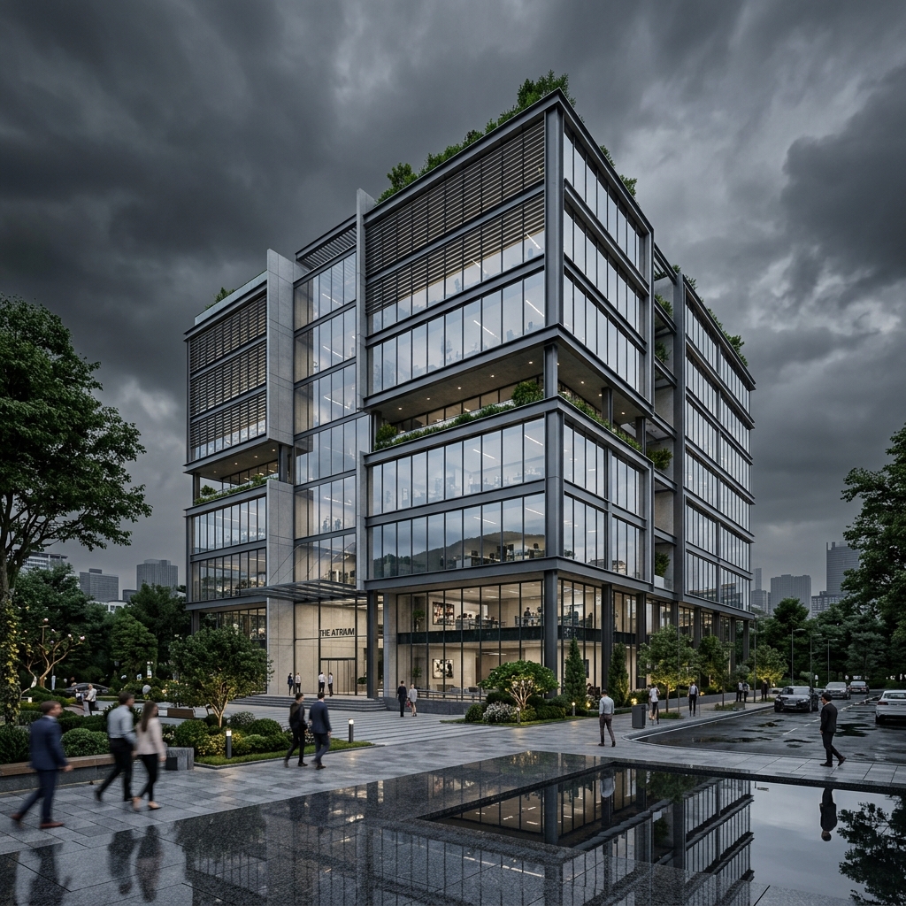
High-precision models and coordination for corporate towers and office complexes.
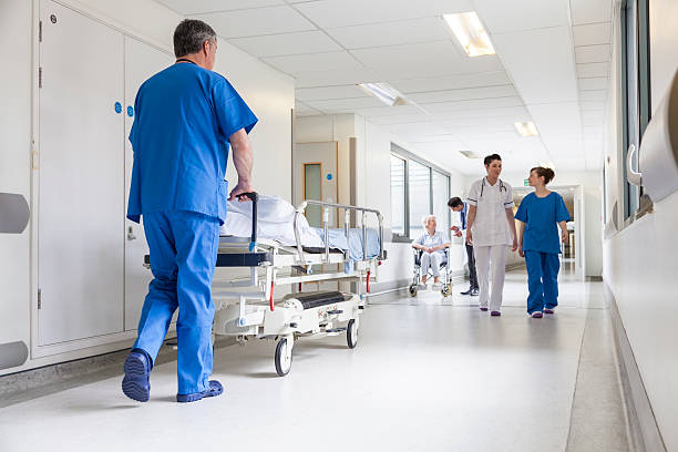
Specialized layout plans meeting stringent medical coding and airflow regulations.
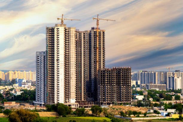
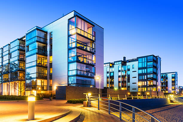
Smart 3D drafting and structural layouts optimized for modern urban living.

Complex piping, equipment layout modeling, and steel structure detailing.
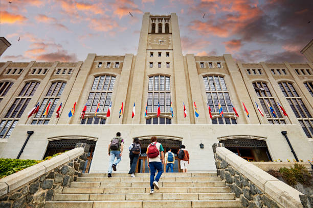
Scalable BIM models for universities, schools, and state-of-the-art campus facilities.
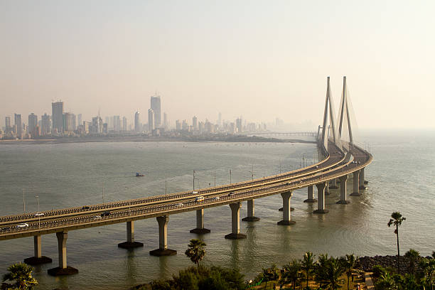
Heavy civil structural drawings, reinforcement models, and highway layouts.
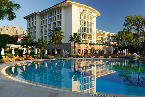
Interior rendering and shop drawings for premium hotels, resorts, and suites.
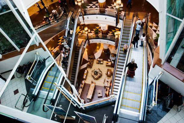
Storefront detailing, cladding mockups, and MEP plans for multi-brand retail outlets.
Find answers to common questions about our aerial and drone context rendering services below.
A traditional site plan is a 2D technical drawing. An aerial rendering is a 3D visualisation that shows the site, the building, and the context in a realistic, understandable way. It's more accessible to non-technical audiences.
We need a site plan or survey, building plans or massing information, and any reference imagery of the surrounding context. Site photography is also helpful.
A single aerial rendering typically takes 5-10 business days. Larger projects or animations take longer. We provide a timeline when we agree the scope.
Yes. We can prepare multiple aerial renderings showing different massing options, landscaping schemes, or site configurations.
We deliver high-resolution images in JPEG, PNG, or TIFF format. We can also provide layered Photoshop files upon request.
Yes. We offer aerial and drone-style flythrough animations that show your project from multiple angles and heights.
Costs vary based on complexity, size of the site, and the level of detail required. We provide fixed-price proposals tailored to each project.
Coordinate your broader visual representation guidelines with our services: